Mount Peggy, or Peggy’s Rock

View your itinerary

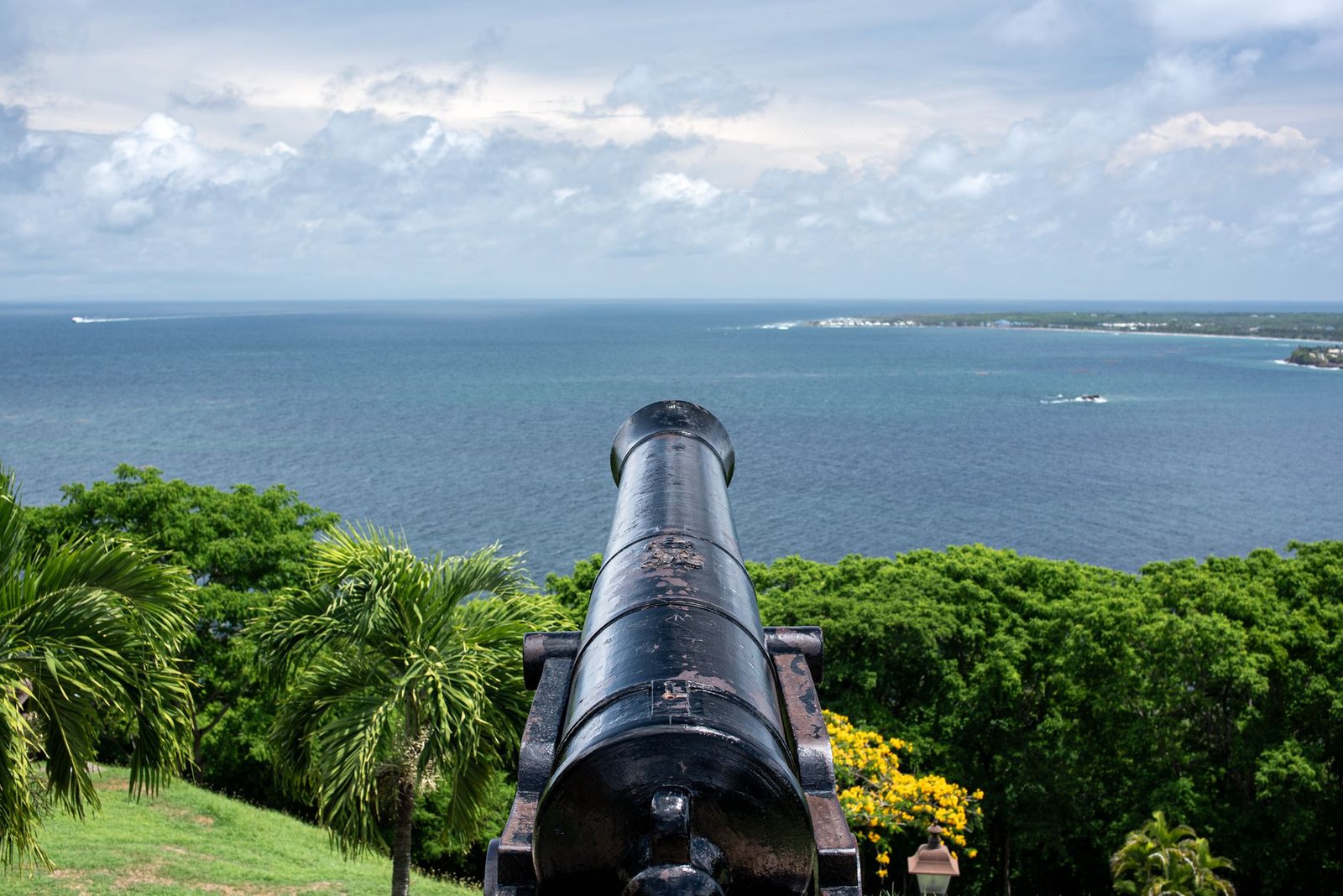
A two to three hour there and back walk to the highest viewpoint on Bequia, looking straight down over Admiralty Bay, Lower Bay and Tony Gibbons Bay.

A two to three hour there and back walk to the highest viewpoint on Bequia, looking straight down over Admiralty Bay, Lower Bay and Tony Gibbons Bay.

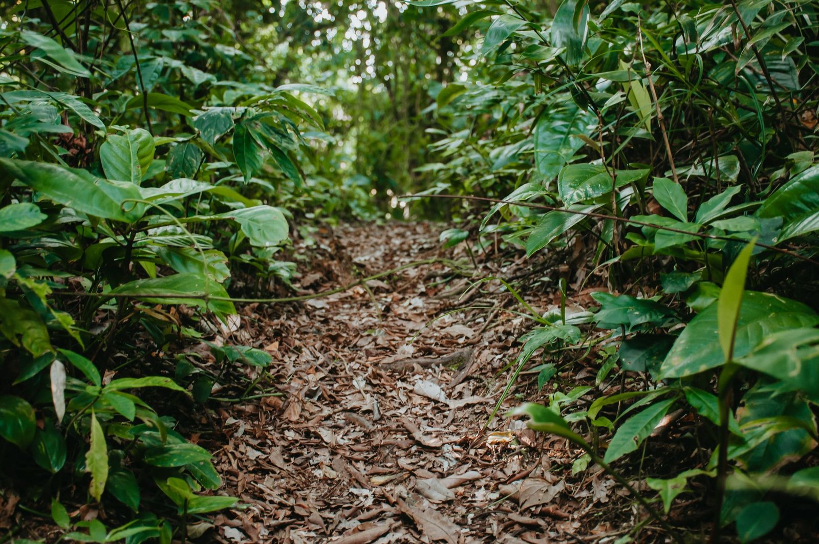
An unimproved footpath with no infrastructure and no operator needed. Named after Ma Peggy, who sat on the rock and signalled shoals to the fishermen below. The route is overgrown in places, poorly marked, involves rock scrambling, and most of it crosses private land, so greet people and ask permission.

From
Price on request
Save for later
Checked by us. hand-verified research, Jul 2026

Why this one

Meeting point
La Pompe, Bequia, St Vincent and the Grenadines
Type
Hiking and Trails
Verified
hand-verified research, Jul 2026

The itinerary

Whats Included

Why it is listed

An unimproved footpath with no infrastructure and no operator needed. Named after Ma Peggy, who sat on the rock and signalled shoals to the fishermen below. The route is overgrown in places, poorly marked, involves rock scrambling, and most of it crosses private land, so greet people and ask permission.
Where to stay nearby

All stays
Membership

Plan the whole St Vincent and the Grenadines trip

Free to save what you like. Membership to plan the lot.

What you get

  • Build this tour into a full itinerary
  • Stays, tours and food matched across the island
  • Every verified listing, no limits
  • Save what you like and come back to it
Free to startSee membershipCreate a free account

Saving tours and building an itinerary is free.

Share this page: Mount Peggy, or Peggy’s Rock

Facebook
X
LinkedIn
Reddit
Threads
Email
WhatsApp